SUGAR LOAF

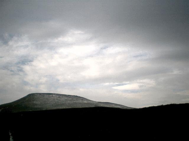
This mountain catches the eye from any direction - if Hokosai had lived in Wales, he's have painted endless views of Sugar Loaf instead of Mount Fuji. I stashed the car at Forest Coal Pit and took the 4km path that climbs over a couple of ridges (above pic taken from the second one) before you hit the steep, lung-bursting final ascent. The paths are easy to follow here, the summit is easy to find, and all in all its a great fell run.Up and down took me just over 50 minutes.
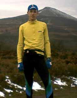
Above pics show the summit from a different angle, close to the final ascent, and myself well wrapped up returning from Sugar Loaf towards Bryn Arw.
BRYN ARW
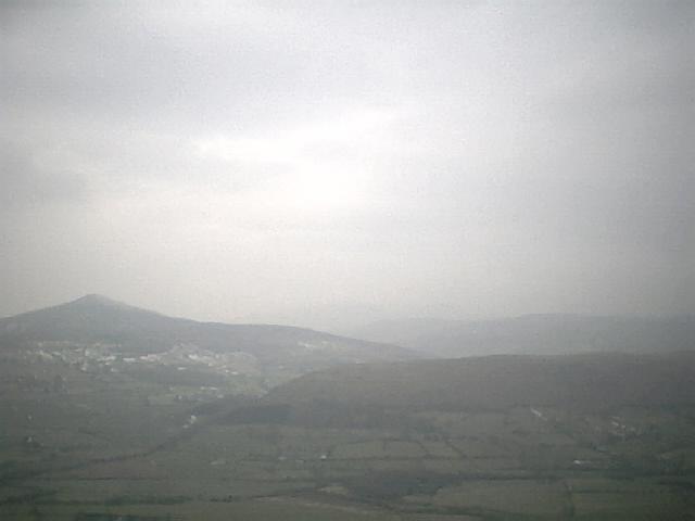
I descended Sugarloaf via the farm shown on the map as "Great Gott" which brought me to the base of Bryn Arw (shown in the foreground above, with Sugarloaf behind). The path up Bryn Arw zigs and zags around - occasionally offering an alternative straight-up route which was seriously steep. As I was enjoying myself running on the gentler slope, I stuck to the circuitous route and soon found myself on the ridge, which rises and falls gently until you reach the true summit. From here you enjoy great views of both Skirrid and Sugar Loaf. Finding the path back to Forest coal pit wasn't quite so easy, and I wasted ten minutes running back and forth across the hillside looking for a path over the fields and trying not to wind up any farmers by running across private land on private tracks. Eventually I found the right stile and from there is was a fast, gentle descent to the river followed by a steady climb on road back to the car at Forest Coal Pit. Bryn Arw is a peaceful and little-visited hill nestling between better known neighbours - the climb should be quick but faffing around on the way down stretched it to 40 minutes.
YSGYRYD FAWR / THE SKIRRID
(aka. The Holy Mountain)
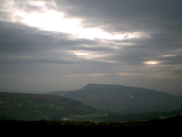
This pic is taken from Sugar Loaf, some distance away, but does just manage to show the familiar profile of The Skirrid. This is a real favourite with hill walkers, but the good side of that is that theres a handy layby to stash the car in just to the South (right of picture) .The ascent is gentle at first, then climbs steeply up the side of the ridge while forestry tracks cross and recross the trail, offering an easier but longer route to anyone struggling with the steep climb. The slopes are wooded, and theres a lowland feel about the terrain. Near the ridge top, walkers have worn a virtual staircase into the soft hillside, but this at least makes descending easier. The run along the ridge is exposed and exhilarating, with the summit at the north end - somewhere here are the remains of the old chapel that used to stand on The Skirrid but its hard to trace them. Descent was via the same route - a dash across the ridge then a balancing act down the steep, wide, stepped path back into the forest. Made it back just before the rain started. Nice.